Most horse properties in the Albuquerque metro area require a real trailer haul before a rider reaches terrain worth the trip. Placitas is different. The Cibola National Forest boundary sits approximately 1.7 miles south of central Placitas - making it one of the closest national-forest access points to any residential community in New Mexico. A horse property along NM 165 means trail access is measured in minutes, not hours. This guide is for riders who are actively evaluating that proximity, or who have just moved a horse here and want to understand the terrain, the infrastructure, and the particular reality of riding alongside a wild horse herd in the northern Sandias.
Why Placitas Is Exceptional Ride-Out Country
What makes the NM 165 corridor specifically valuable is the combination of access points feeding into it. For competitive riders, trail horses in conditioning work, or owners who ride several days a week, the configuration is worth understanding: the Placitas Area Trail System sits at the northern end of the Sandia Mountains, beginning east of the Placitas Cafe. Two entry points lead onto Forest Road 445 - the Placitas Trailhead at the western end and the Strip Mine Trailhead roughly half a mile further east. FR 445 itself is a loop road running along the northern base of the Sandias and returning to NM 165, its packed-dirt surface suitable for both horses and the tow vehicles hauling them.
The northern Sandia approach also means less trail congestion than access points on the Albuquerque side. Fewer cyclists and hikers per mile, more predictable encounters, and terrain that reads as genuinely remote even close to the trailhead.
Mapping the Placitas Area Trail System
FR 445 is the backbone of riding in this corridor. The road's surface is dry, packed dirt with minor ruts - suitable for horses and for tow vehicles, though first-time haulers should scout it in a passenger vehicle before committing a loaded trailer. Ruts can deepen seasonally after wet weather, and what looks passable in summer may need a closer look in spring.
The two NM 165 entry points, Placitas Trailhead and Strip Mine Trailhead, are not equestrian-specific. They function as launching points onto FR 445 and through to the broader Cibola National Forest trail network heading south into the Sandias. Neither offers dedicated stock facilities, so treat them as transit points rather than staging areas.
Right-of-way on these multi-use trails follows Cibola National Forest policy: horses hold the highest priority. Bicycles must yield to both hikers and horses. In practice, this matters most at blind corners and on descending sections of FR 445 where mountain bikers carry speed. Most cyclists know the rule. Not all of them anticipate horses around curves. Riders should treat the rule as their legal right and the encounter as something to manage actively rather than assume.
Before the first ride, get a paper map of the Sandia Ranger District from the Tijeras Ranger District office or USFS website. The USFS explicitly states that cell phone coverage is not guaranteed anywhere in the Sandia Mountains trail system and advises every user to carry a paper map. AllTrails and Trailforks are useful for general orientation, but their reviews are written almost entirely by hikers and cyclists. They do not address horse trailer routing, stock water, or trailhead footing specific to equestrian use. Get the paper map.
Trail by Trail - What Equestrians Actually Need to Know
Piedra Lisa North Spring Trail
At 8.1 miles out-and-back with 2,467 feet of elevation gain, this is the demanding option in the Placitas corridor. The trail earns its moderate-to-challenging rating through sustained climbing rather than technical terrain. For horses, that elevation gain across that distance represents a serious cardiovascular effort - closer to a conditioning ride than a pleasure outing. Average hiking completion time runs around five hours to five-and-a-half hours; budget similarly on horseback, or longer on a first run through unfamiliar terrain.
The footing involves loose volcanic and granite rock typical of the northern Sandia approaches. A horse coming from lower elevations or from different substrate will need time to adjust its footfall. First runs on Piedra Lisa should be treated as exposure rides. Save the conditioning work for subsequent outings once the horse is reading the surface confidently.
Placitas Loop via FR 445
The loop along FR 445 - listed at approximately 6.2 miles on AllTrails - is the practical everyday option for a horse owner living near NM 165. AllTrails lists it as open for horseback riding with a mostly smooth dirt surface and some sections of ruts. It is long enough to serve as a real conditioning ride, varied enough to hold a horse's attention, and accessible without a significant trailer haul from the immediate Placitas area. This is the trail that will get the most miles on a working horse kept nearby.
Sandia Mountain Wilderness - Including Pino Trail
Cibola National Forest's Sandia Mountain Wilderness holds more than a dozen cataloged horseback-riding trails, with a strong community reputation among equestrian users. Among them, the Pino Trail Short Version stands out as the top-rated option in the system for equestrian use: at 3.3 miles with 610 feet of elevation gain, it offers a reliable moderate-effort ride with well-maintained surface conditions. Note that upper sections of the full Pino Trail become too steep and narrow to permit horseback riding; the shorter accessible version is what riders use. The broader wilderness network extends south and provides serious mileage for horses in long conditioning work or for riders who want to explore beyond the FR 445 corridor.
The Cienega Equestrian Trailhead
The Cienega Equestrian Trailhead is the only designated equestrian-specific trailhead in the Sandia District of Cibola National Forest. Every other trailhead in this system was built for foot traffic or general multi-use. Cienega was built with horses in mind, and the difference is immediately apparent: the trailhead features a large turnaround explicitly sized for horse trailers. If you have maneuvered a two-horse trailer out of a gravel lot designed for compact cars, the practical value of that turnaround needs no further explanation.
The trailhead opens access to three trails: Cienega Equestrian Bypass Trail 266, Armijo Trail 222, and Faulty Trail 195. These represent some of the cleanest horse-specific routing in the district, which is why the dedicated equestrian infrastructure was sited here.
A day-use fee is charged per vehicle. Payment options have included cash or check at the on-site drop box and may also include digital options such as QR code payment or advance online purchase through Recreation.gov - confirm current accepted methods and the fee amount with the Tijeras Ranger District before your first visit, as fees and payment systems are subject to change. The New Mexico Enchantment Pass and the federal Interagency Annual Pass are both accepted.
The single most critical practical detail about Cienega: no potable water is available. Not seasonal, not shared with hikers, not findable with a short walk - simply absent. Every drop of water for horses and for riders must be hauled in before leaving home. A horse working on a warm day in the Sandias can drink heavily; plan water quantities conservatively and then add more. Running short on water for stock hours from the trailer is a genuine welfare issue, not an inconvenience.
From I-40, access runs through the Tijeras area and into the Cibola National Forest road network. Confirm current directions with the Tijeras Ranger District office - routing in this area can shift by season and road condition.
Riding Into Wild Horse Country
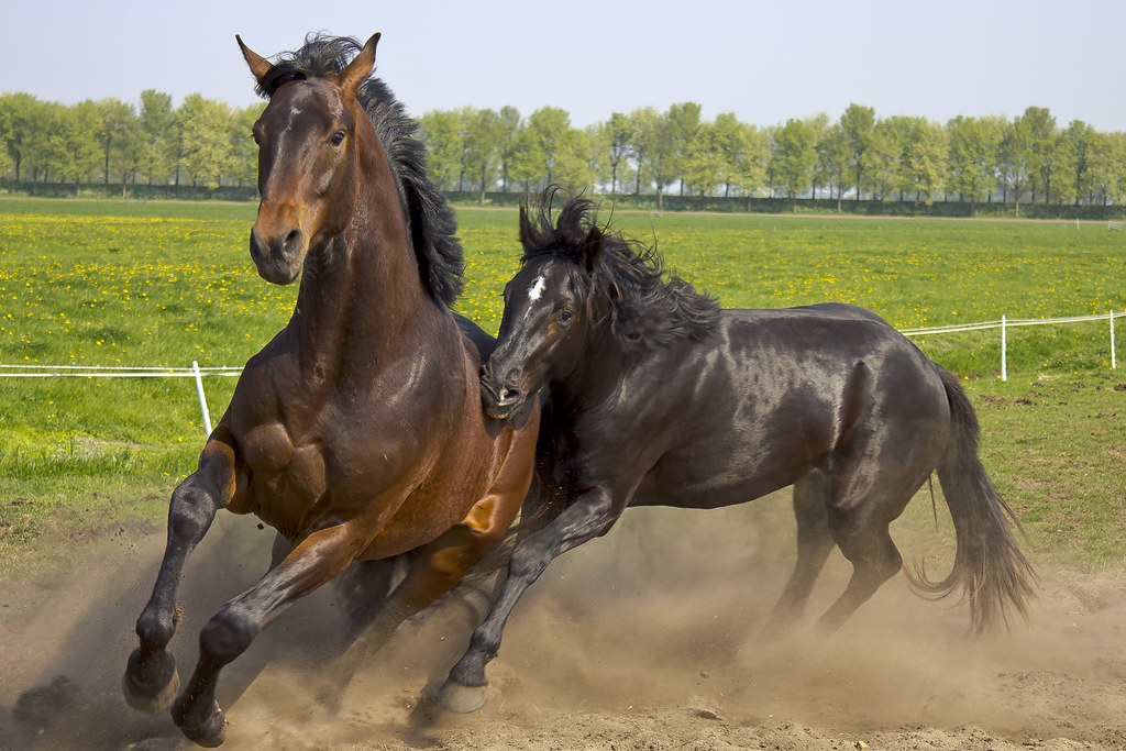
The Placitas wild horse herd is not a distant abstraction. It ranges across BLM and other public lands near Placitas, extending toward San Felipe Pueblo and Santo Domingo Pueblo, and horses from the herd have been documented moving east into the Sandia Mountains - the same terrain covered in this guide. Riders on any of the trails described here may encounter free-roaming horses. This is not a rare event; it is a normal feature of riding in this area.
Population estimates for the herd vary considerably and no authoritative current count is publicly available. The New Mexico Livestock Board has conducted multiple removal operations involving dozens of animals; local observers and advocates have cited total population estimates as high as 200. The herd's origins are contested: advocates claim descent from Spanish colonial horses, a lineage federal agencies have not confirmed. Under federal law these horses are classified as feral - not as protected wild horses under the 1971 Wild Free-Roaming Horses and Burros Act - and BLM does not recognize them as an official managed herd. What is not contested is that the horses are present, numerous, and free-roaming.
For a domestic horse, a wild horse encounter is categorically different from passing another rider on trail. Wild horses may approach, posture, vocalize, or move unpredictably. A domestic horse encountering wild horses for the first time will often react strongly - spinning, bolting, or refusing forward movement. The first encounter is rarely smooth regardless of how well-trained the domestic horse is. Prepare for it rather than assuming it won't happen.
- Give wild horses as much space as the terrain allows. Do not approach them, and do not let your horse approach them.
- Stay calm and avoid sudden noise or movement. Loud sounds intended to drive wild horses away can trigger unpredictable group movement that pulls your horse toward the herd.
- Yield the trail if wild horses are moving through it. A domestic horse that begins following a wild herd is difficult to redirect.
- On multi-use trails, horses hold the highest right-of-way over cyclists and hikers - but wild horses are not trail users. Treat them as an environmental feature requiring a wide, patient pass, not a right-of-way negotiation.
New Mexico is an open-range state. Under open-range law, landowners bear the legal responsibility for fencing animals out of their property - not the livestock or horse owner. This means any horse you encounter near the Placitas trails may be wild, feral, or loose livestock with no owner actively managing its location. Do not assume the horse you see is tame, managed, or safe to approach.
Pre-Ride Logistics Checklist
USFS trail pages list names and distances. They do not explain what a horse owner needs to organize before loading the trailer. These are the categories that actually determine whether a ride goes smoothly.
Cell Service and Navigation
Assume no cell coverage once you are in the trail system. The USFS makes this explicit for the Sandia Mountains. Carry a paper map - the Sandia Ranger District map covers the relevant terrain. A personal locator beacon is worth carrying on solo rides into this area, where a horse injury miles from the trailhead has no fast cell-based solution.
Seasonal Closures
Trails in this system close after significant weather events: heavy rain, fire activity, or winter storms that leave dangerous footing. Call the Tijeras Ranger District office before hauling after any major weather event. Arriving at a trailhead with a loaded trailer to find a closure sign is entirely avoidable with a five-minute phone call.
Matching Trail to Horse
Horses moving to Placitas from lower-elevation country - the Rio Grande valley, eastern New Mexico, or lower-altitude out-of-state locations - will notice the change. The northern Sandia trails begin at roughly 6,000 feet and climb from there. Shortened working periods before fatigue, faster respiration on climbs, and reluctance to maintain pace on sustained ascents are normal signs of altitude adjustment in the first weeks. The fix is incremental exposure: shorter rides at elevation, progressively longer as the horse adapts.
Do not use Piedra Lisa North Spring Trail as a first ride in new terrain. Its nearly 2,500 feet of gain on an 8-mile route is a serious ask for a horse that has been working at sea level. Start with the Placitas Loop on FR 445, where the packed-dirt surface is close to what most horses encounter regularly and the mileage is long enough to be useful without the technical climb.
For horses new to rocky terrain, the loose volcanic and granite substrate on Piedra Lisa and in the wilderness network requires adjustment. Watch for hesitation and stumbling in early outings - it usually resolves as the horse builds confidence reading the surface. Front boots or pads help horses that have worked primarily on arena or soft trail footing.
Matching by profile: the Placitas Loop on FR 445 and the Pino Trail suit horses early in the Sandia transition or riders building baseline fitness. Piedra Lisa North Spring and the extended wilderness routes suit conditioned horses with established footing confidence and owners prepared to manage the full logistics of a long day out.
The Bigger Picture
Most trail access near Albuquerque involves a tradeoff: proximity to home, or terrain worth the effort. The NM 165 corridor is unusual in that the tradeoff largely disappears. The Cienega Equestrian Trailhead - the only designated horse facility in the Sandia District - exists because sustained equestrian demand in this corridor justified building it. FR 445 provides a practical everyday loop. The wilderness network extending south provides serious mileage for horses ready for it. That range, from a packed-dirt conditioning loop to technical wilderness terrain, is available from a single access corridor.
The defining constraint of riding here is preparation, not logistics. A horse new to altitude, rocky footing, or wild horse encounters will need time to acclimate. Riders who take that acclimation seriously - starting on the loop trail before moving to Piedra Lisa, understanding what open-range law means for what they may encounter on BLM land - will find this area holds up across seasons, conditions, and years of use in a way that more managed trail systems rarely do.